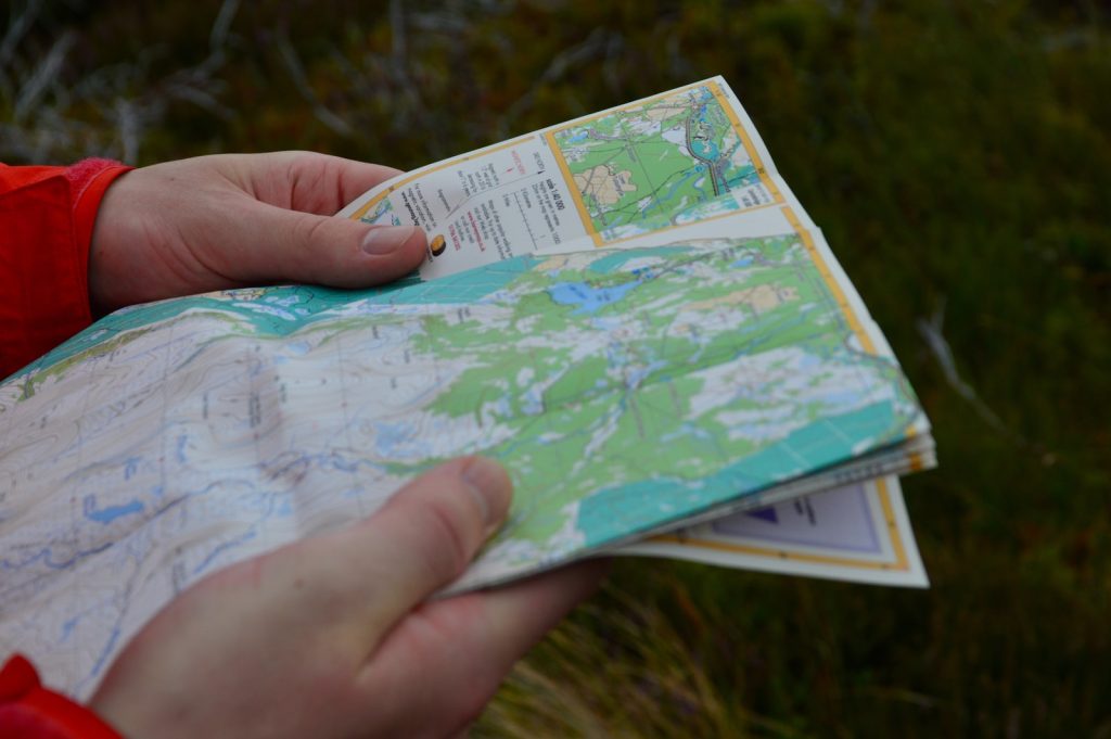
You may be confused about the orienteering signs and symbols if you are new to orienteering. For this article, we will introduce orienteering signs, symbol usage, and the various types of orienteering maps.
In addition to this, we will discuss the meaning of orienteering control descriptions and map scales. To help you understand these symbols, here are some examples:
Orienteering map symbols
Orienteering maps often include a series of symbols representing the various elements that can help you find your way. Unlike a traditional map, orienteering maps contain symbols for each control type. These symbols are similar to control descriptions but differ slightly.
In some cases, these symbols are used as a guide to locate individual control flags. Whether you’re unfamiliar with orienteering map symbols, a map key will be helpful when orienteering.

Orienteering map symbols vary according to where you plan to orientate yourself. The distance between the true north and magnetic north is approximately 250 meters. This distance is typical for a 1:10,000 scale map.
Orienteering map symbols are often made with the magnetic north in mind, as the angle between true and magnetic north differs in different parts of the world. To help you navigate, reference lines are placed on maps to make it easy to use a compass.
Orienteering map symbols are important for helping you get your bearings during the race. Symbols are used to indicate the exact location of controls and are essential for accurate navigation.
Orienteering map symbols are typically based on the ISOM 2017-2 map standards and the BoF school orientation map standards. The ISOM 2017-2 map symbols are used for normal orienteering maps, while those for sprint orienteering use the ISSprOM 2019 sprint symbol.
List of common orienteering signs and symbols
- Arrow with red tip – this arrow points to a control or direction.
- Arrow with black tip – this arrow points in a direction.
- T-Intersection – this sign indicates two trails meet. One must choose which trail to take, as no trail continues straight.
- Directional Arrow + Arrowhead – this sign indicates the direction of a route without referring to a specific control. This is used on trails and roads, not at control sites.
- Circle with an Arrow – this sign indicates that the way is closed, i.e., it shows the direction one cannot go. It is used, for instance, on private property, where one cannot enter without permission from the owner.
- L-Intersection – this sign indicates several trails meet, and one must choose from multiple directions which route to take.
- Directional Triangle with Arrow + Arrowhead – this sign indicates an alternate route but refers to a specific control site (i.e., no specific place one should go). It is used, for instance, when the way changes because of water in a river or a landslide blocking the original route, but there are side trails around it that lead to different controls within a route.
Using purple and black orienteering map symbols is a common way to indicate your orienteering course. They also serve as a way to designate areas that are out of bounds. Some orienteers also use purple and black symbols to designate map corrections. This can be a fun challenge, as you must not violate a map restriction.
Orienteering maps include a legend that explains the meaning of the different symbols. Orienteering maps are typically at a 1:10,000 scale, which is five times larger than a standard OS map.
It’s important to learn the various colors and symbols on orienteering maps. For example, white space indicates a runnable forest, while black represents manmade features. Other colors are used to show landforms and water features.
Orienteering maps are created using a walker’s perspective and are, therefore, very large-scale. They feature much more detail than a topographic map, typically 1:50,000 or 1:25,000 scale. Scale is important because orienteering uses a scale that makes point features easier to recognize. However, if you’re using a map for a long championship, you may want to consider a smaller scale.
Orienteering maps use the same standard symbols as road maps but have been modified to make them more legible. For instance, if you plan to climb an elevated object, you’ll want to place a pole where the shadow intersects the object. This way, your map will be easier to read.
Also, only prominent buildings should be represented if an area is off-limits. Similarly, if a building completely encloses the object, it should be mapped as part of it.
Orienteering control descriptions
Orienteering courses often use map symbols, but not all have them. In some cases, the map is not labeled with the control number. Reading the control descriptions carefully is important to ensure you’re in the right place.
Here are a few tips to help you get the most out of your course. Start by understanding the map symbols. Once you know these symbols, you can read and interpret the map controls.
First, you should understand how orienteering maps are drawn. Typically, they are 1:10,000 scale, five times larger than the average OS map. Because they are so detailed, it’s necessary to understand their different colors. For example, white space represents a runnable forest, while black is used for man-made features. Brown and blue are used to identify water features and landforms.
Another important aspect of orienteering maps is the use of control description symbols. IOF developed control description symbols to provide a uniform means of description for competitors in different countries. These symbols are also intended to eliminate language-based confusion.

They also give greater precision to a map by indicating the location of the control flag. When used correctly, they help competitors visualize control sites. In addition, IOF maps are easier to read and understand, so using map symbols is a key to orienteering.
Aside from maps, orienteering uses control point markers to indicate where competitors must go next. These are called control points and are used in many sports, including orienteering. An orienteering control point is marked on a map, either by a sign or by the terrain.
A control point has three components: a high-visibility item, an identifier, and a recording mechanism. Orienteering controls are temporary and not permanent.
Orienteering maps feature a variety of wood posts and wooden signs. A permanent course will have many control areas marked on the map. In addition to the sign, the map will have lines indicating which controls should be reached in order.
These lines need not be traveled but will help orienteers determine the order in which the controls should be reached. However, it’s a good idea to practice orienteering courses regularly.
Orienteering maps can be confusing. A full map symbol key can help you find the right direction. Orienteering maps also feature blue magnetic north lines. These lines should run in the same direction as the compass needle. Place your thumb on the map at a particular point to start orienteering. Make sure to check your thumb as you move. At intersections, make sure your thumb stays on location.
Orienteering map scales
Orienteering maps are not based on a standard map scale and can vary greatly depending on the terrain. The USGS produces maps, which are used by orienteers. Lower scales of O’maps give more detail than Topos but often feature symbols that aren’t used on Topos.
For example, ISOM #418 and #419 depict deciduous trees and conifers, respectively. While such details may seem redundant for an orienteer, it’s important to remember that you may want to avoid walking or using a mountain trail in winter.
Orienteering maps also contain a variety of icons and topographical lines to indicate vegetation and terrain. Colors are often used to indicate the presence or absence of landmarks. Yellow and orange represent open land and green represents areas with low visibility.
Orienteering maps are also more detailed than standard OS maps. The density of each color also reflects how clear the terrain is. Light color signifies runnable forest, while dark colors are rough, open land.
Orienteering map scales are often based on the international standard for orienteering maps. 1:24,000 scale maps are often very detailed, with finer detail than topographic maps. For example, one inch on a 1:24,000 map equals 2,000 feet in real life.
In contrast, a 1:10k map, while visually identical to 1:15k, is designed for older competitors who may not require a large map. Sprint maps are sometimes made with a scale of 1:4,000 or 1:5,000 but use a different symbol set.

There are many different orienteering map scales. While most of them are fairly standard, there are exceptions. Orienteering maps are usually 1:15,000 or 1:10,000, and most compasses come with a ruler that measures distance in either centimeters or millimeters. Regardless of the scale, it’s important to remember that each is designed for different uses.
The distance between magnetic north and magnetic south is a common misconception. Maps with a magnetic north line are often more accurate and easier to read. An orienteer can quickly and accurately orient himself to magnetic north by laying the compass along the top of the map.
This method is advantageous when the distance between two points is quite large. The distance between the map’s north line and the magnetic north line is typically 250 meters.
Some orienteering map scales are higher than others. Some are much higher than others. Some maps have scales that are more than twice the size of a standard topographic map. Orienteering map scales vary depending on the terrain. The scale of an orienteering map is important for the accuracy of navigation. To ensure accuracy, use a scale with more than one metric unit.
aeorienteering.com is reader-supported. When you buy through links on our site, we may earn an affiliate commission.


